This are the designed, protected routes in Bloomington currently mapped in #OpenStreetMap
The newer 7-Line is notably absent. And that disconnect bit up north? Those are the trails in Cascades Park.
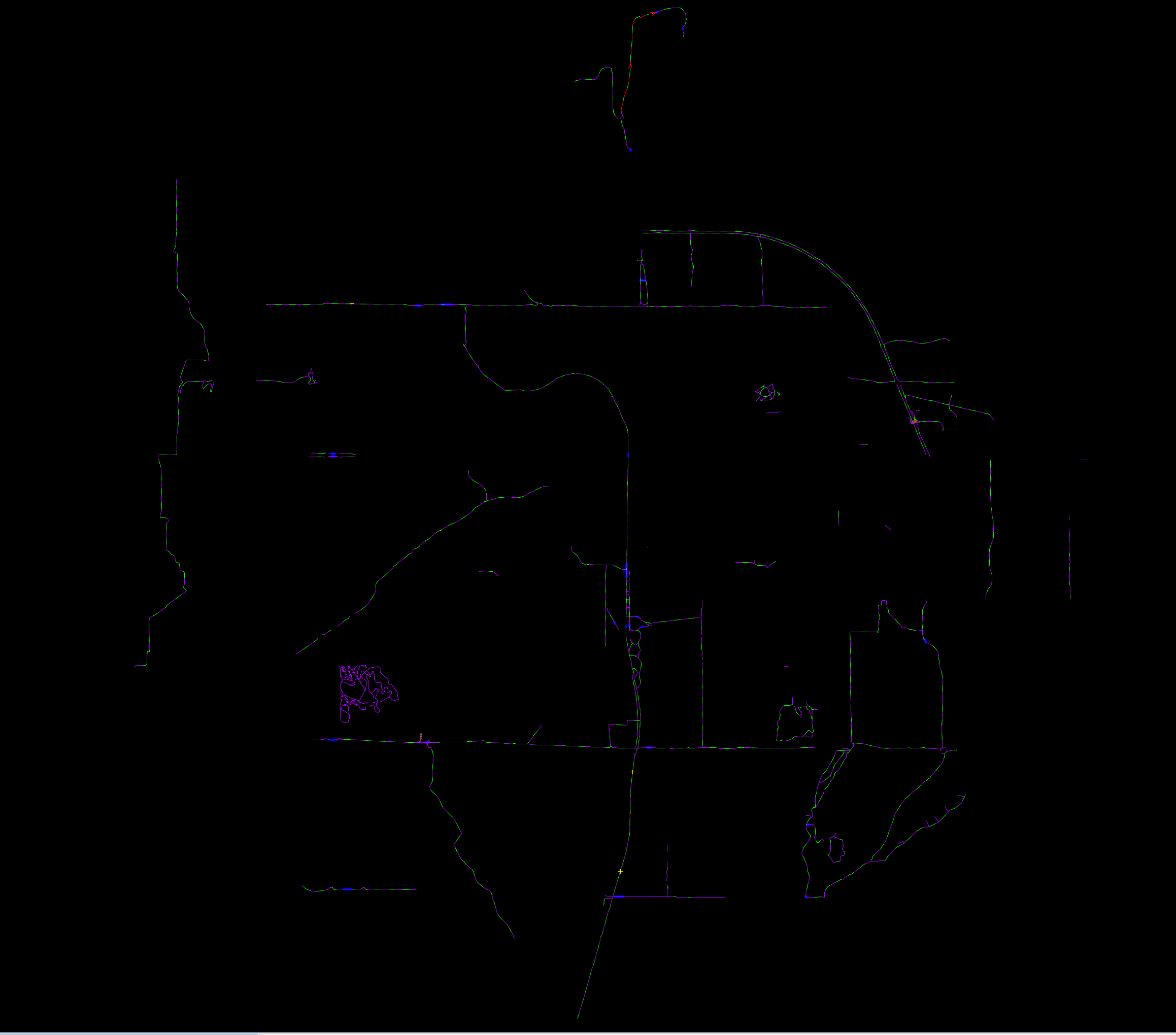
This are the designed, protected routes in Bloomington currently mapped in #OpenStreetMap
The newer 7-Line is notably absent. And that disconnect bit up north? Those are the trails in Cascades Park.
2 Comments
benfulton@hoosier.social · 1 pts · 1y
@markstos @bloomington_in So I suppose bike route algorithms recommend the bypass generally? I wouldn't. Between the debris thrown up on the path by speeding cars, and just generally the amount of carbon monoxide you suck in, I'll take my ebike quite a bit farther to avoid it.
#BikeTooter #ebike
markstos@urbanists.social · 1 pts · 1y
@benfulton @bloomington_in The algorithms don’t know about the debris in the bike lane nor have I heard of carbon monoxide being factored in, BUT the Pointz app allows reporting road hazards and road stress/comfort. But they have few users.
Both Strava and Ride With GPS factor in the routes actually take, so there are options for algorithms that look beyond what’s in OSM data.