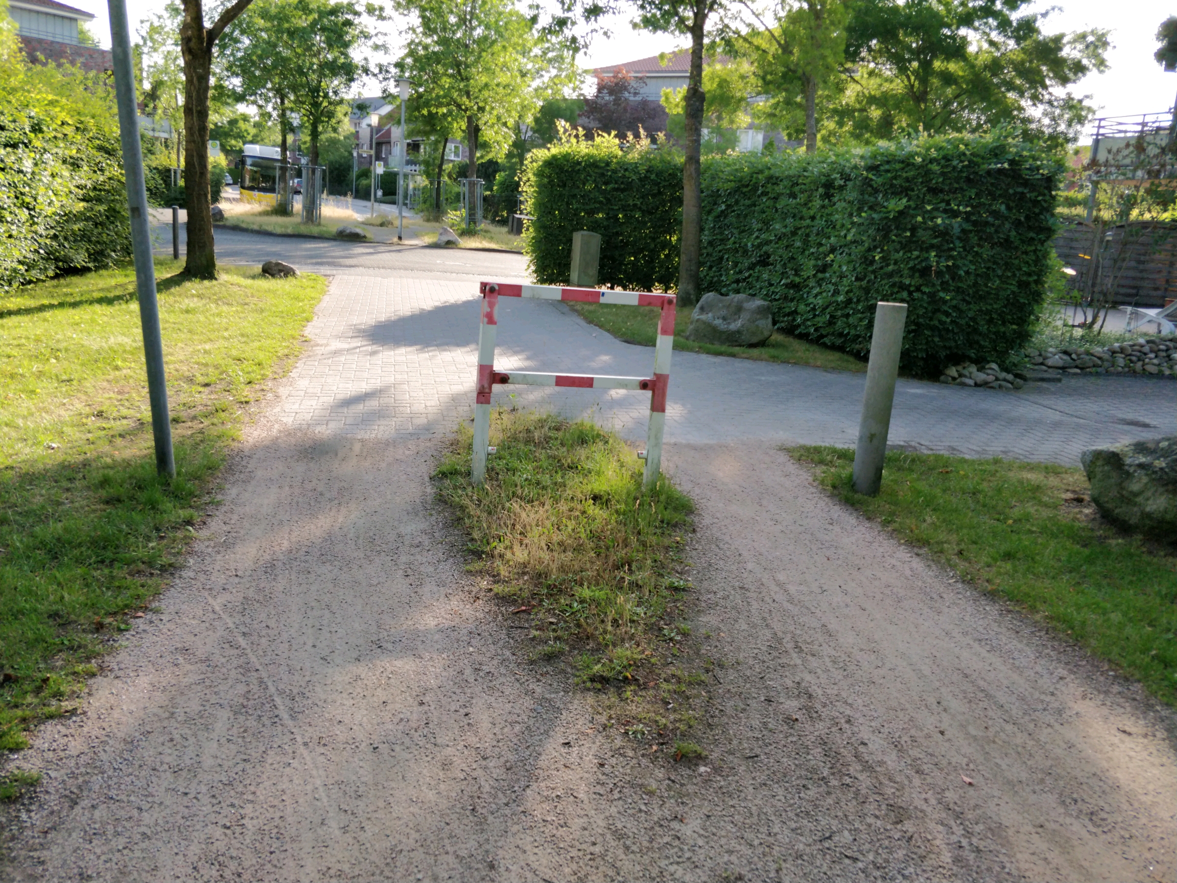
I found this kind of cycle barrier in Oldenburg right here:
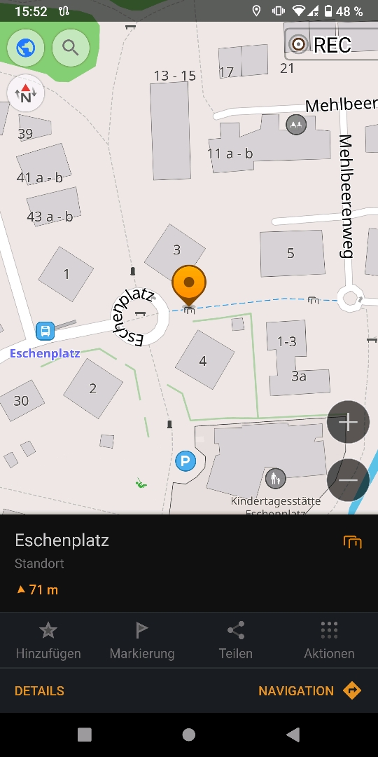
There are 2-3 similar barriers in the same region.
Problem: there is no design specified in openstreetmap fitting for those. How can this be solved?
(I mean the list below "Types / designs of cycle barriers" here: Cycle barrier in OSM Wiki )
8 Comments
habi@mander.xyz · 2 pts · 3y
I would just map this as
barrier=cycle_barrierANDcycle_barrier=singleRoToRa@discuss.tchncs.de · 1 pts · 3y
My guess is that isn't a cycle barrier at all. For me it seems to be a special form of removable or foldable bollard for blocking two track vehicles but allows emergence vehicles to open them.
nnachtigal@discuss.tchncs.de · 1 pts · 3y
Thanks. Yeah, i thought about using bollard as description, too. It just also doesn't really fit the description. Bollards are apparently pillar-shaped obstacles only. Cycle barrier seems to fit best. Per definition also "single" seems to fit best here. I am still a bit bothered by the difference of the picture and scheme from what I would understand as "single cycle barrier", namely a single barrier. Maybe there could be two or even three options - two sided (path in the middle), one sided (path left or right) and center ( path left and right).
khaosoi@discuss.tchncs.de · 0 pts · 3y
cycle_barrier=singleseems the most suitable to me.https://wiki.openstreetmap.org/wiki/Key:cycle_barrier
nnachtigal@discuss.tchncs.de · 1 pts · 3y
Hm! Description sounds fitting. But why does it say "single" when there are barriers on both sides in the picture and the schematic illustration?
khaosoi@discuss.tchncs.de · 2 pts · 3y
I reckon single here means, the obstacle is a single line (seen from above). Compare to double and triple illustration where the obstacle is two or three "lines".